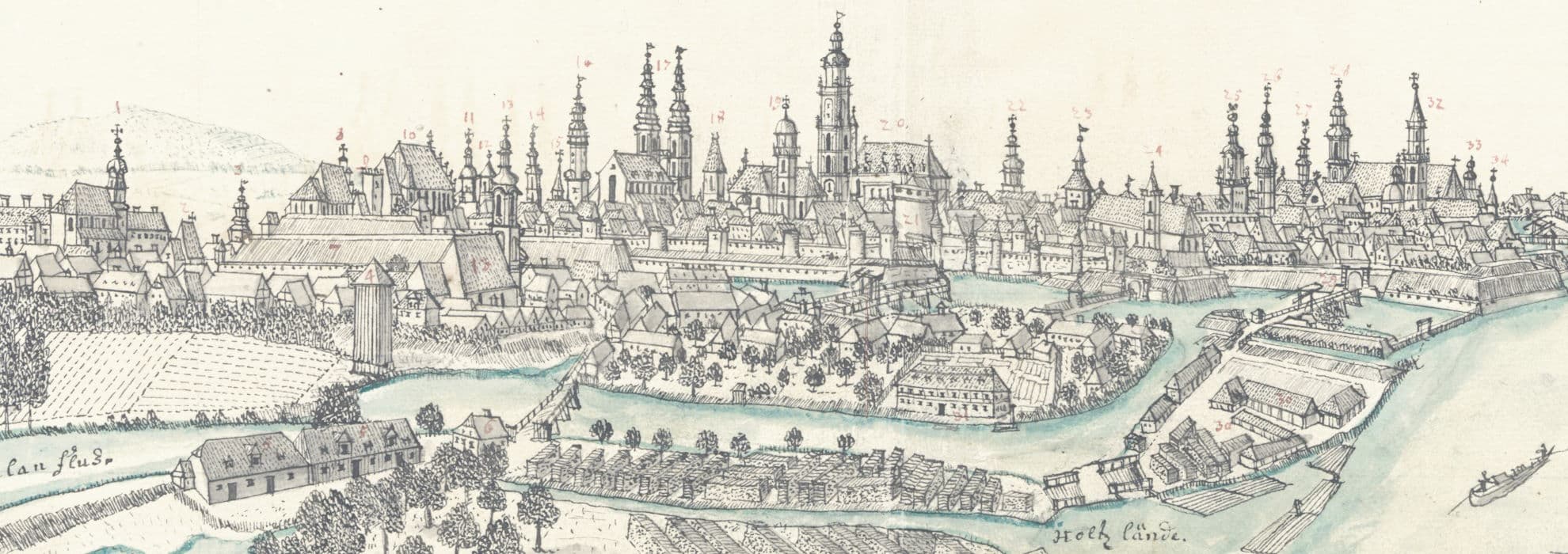
- Mapa województwa krakowskiego w dobie Sejmu Czteroletniego 1788-1792
Object's details: Mapa województwa krakowskiego w dobie Sejmu Czteroletniego 1788-1792
IIP
The object with restricted access
publication.accessType.isPlacesOnly
Description
- PLMET: http://confluence.man.poznan.pl/community/display/FBCMETGUIDE

- Title:

- Subject: ; ; ; ; ; ; ; ; ;

- Description:

- Place of publishing:

- Publisher:

- Contributor: ; ; ; ;

- Date:

- Detailed Type:

- Format:
- Identifier:
oai:bibliotekacyfrowa.pl:41645 - Source:

- Language:
- Relation:

- Catalog GAIKK: https://gaikk.bu.uni.wroc.pl/maps/13154

- Access rights: ; ;
 ;
;
- License: ; https://rightsstatements.org/page/InC/1.0/ ;
 ; https://rightsstatements.org/page/InC/1.0/
- Location of original object:

- Autor opisu:

Object is located in the collections:
See also
Atlas historique, ou Nouvelle introduction a l'histoire, à la chronologie et à la geographie ancienne et moderne [...] Tome IV. Qui comprend le Dannemarck, la Suede, la Pologne, la Moscovie, la Turquie &c.
Creator:Châtelain, Henri Abraham (1684–1743); Guedeville, Nicolas (1652–1721)
Date:1718
Source:36-IV.B./4
Atlas nouveau a l'usage de Monseigneur le duc de Bourgogne, contenant les cartes geographiques de toutes les parties du monde [...] reveués, corrigées et enrichies des decouvertes des nouveaux Geographes de l'Academie Royale des Sciences [...] par [...] Sanson D'Abbevile. T. 2.
Creator:Sanson, Nicolas d'Abbeville (1600–1667)
Date:[1696-1708]
Source:968-IV.B.
Najnowszy plan stół. król. miasta Krakowa wykonany przez Bud. Miejs. Odd. B
Creator:Stolecki, Kazimierz
Date:1916
Source:10201-IV.C.
Najnowszy plan Krakowa
Creator:Małecki, K.
Date:1947
Source:8944-I.B.
Atlas historique de la Pologne
Creator:Plater, Stanisław (1784-1851)
Source:11443
Mapa samochodowa Polski
Date:1933
Source:10367-II.B.
Atlas do dziejów Polski zawierający czternaście mapek barwnych
Creator:Niewiadomski, Eligiusz
Date:1920
Source:5857-III.B.
Atlas historyczny Polski
Creator:Bazewicz, Józef Michał (c. 1862 – 1928)
Date:1923
Source:10076-I.B.
Last viewed
- Lipsiacas
Lipsiacas Patria cedens [...] Boehm [...]. Creator:Böhm, Ernst Ludwig (1712-1762)Date:[1731]Type:tekstSource:02942

